Capitol Reef National Park got its name from the way early settlers perceived its geological features. "Capitol" because they thought the white sandstone domes looked like the capitol building in Washington, DC. "Reef" because the Waterpocket Fold, a 100-mile long ridge, was a barrier to travel, like a coral reef.
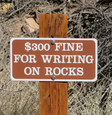
Ancient hunter-gatherers lived here thousands of years ago, and left their paintings and etchings on the rocks.
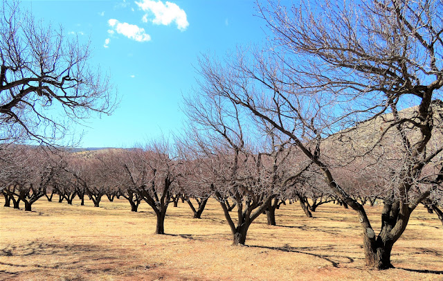
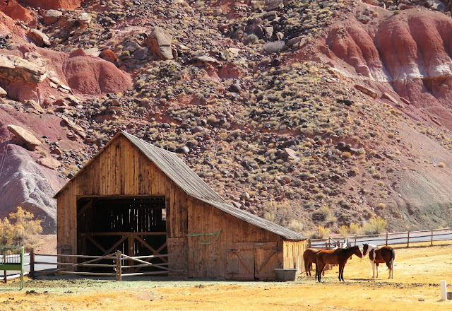
In the 1800s, Mormon farmers settled here and planted orchards. The orchards, as well as some of the buildings and old farm tools, are preserved in the park. In season, tourists can pick and eat fruit here. Clearly, this wasn't the season. Even the snack bar was closed. We were glad we had brought a picnic lunch.
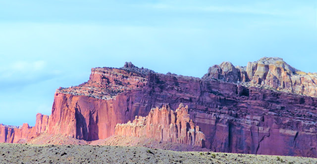
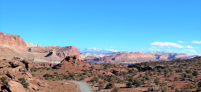
The eight-mile Scenic Drive winds through some very dramatic landscape.
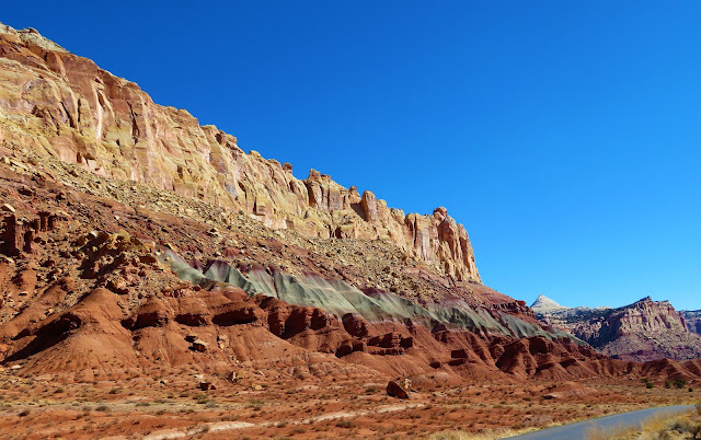
The strata (stripes) are rock layers that were created by sediment deposited here over millions of years. Different kinds of sediment reflect different climates and environmental conditions. Tectonic forces lifted this region several thousand feet. Because of the Waterpocket Fold, the west side was lifted about 7,000 feet higher than the east side.
The area was carved out by water erosion, assisted by gravity, revealing the layers. Different kinds of mineral content create different colors and textures. Both red and green are caused by iron; red indicates a dry environment, and green indicates swampy conditions. As well as having different colors, the layers also have different textures, and tend to erode at different rates, creating some very interesting shapes.
Vegetation also contributes to rock erosion.
The camera is level. The landscape is at an angle as a result of tectonic uplift.
No matter which way we looked, the scenery was spectacular.
Here is a short video showing the landscape around the Capitol Gorge picnic area and trailhead.
(Videos may not be displayed on some mobile devices or in some email apps. The video will be visible on the desktop version of the website.)
This was our third national park in three days. We planned to go to the fourth (Bryce Canyon) the next day. Sometimes plans have to be changed.
Note: We were here in February.
We are thrilled by your comments! If you are an email subscriber, please DO NOT REPLY TO THE EMAIL; replies just go to a dead end. To leave a comment, please click here.













Incredible scenery, thanks for posting this.
ReplyDelete